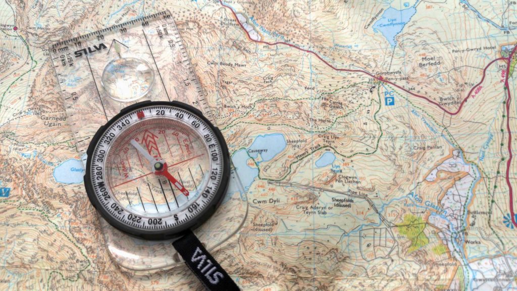
The Orienteering challenge tests a participants ability to use a map and compass to navigate through nature and their knowledge of topographical maps and symbols.
Participants should know their step length and be familiar with Silva style compasses. The USGS has a web site where topographical maps can be viewed. https://ngmdb.usgs.gov/topoview/
All materials for this challenge are provided.